MAREANO map serviceA map service for Norway's seabed — combining marine layers for exploration, with admin tools to keep data sources current.
MAREANO / Institute of Marine Research
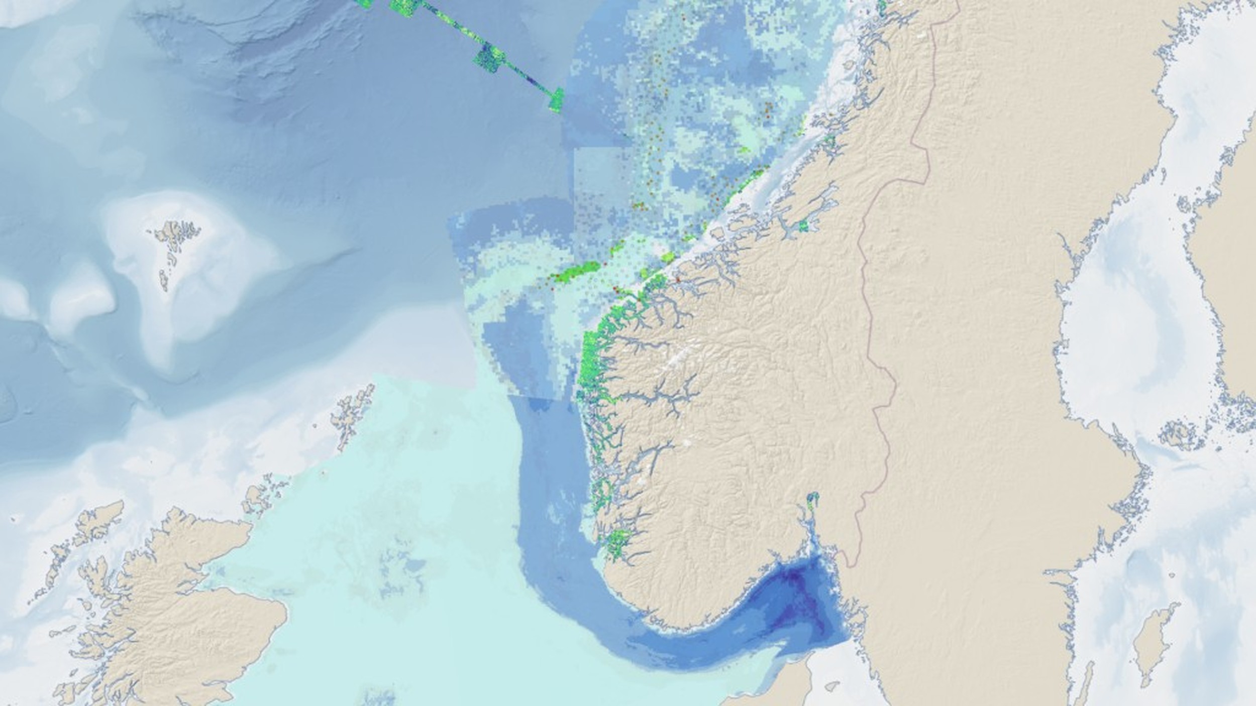
A map service for exploring Norway’s seabed and marine layers — with admin tools that keep data sources current.
Value for client
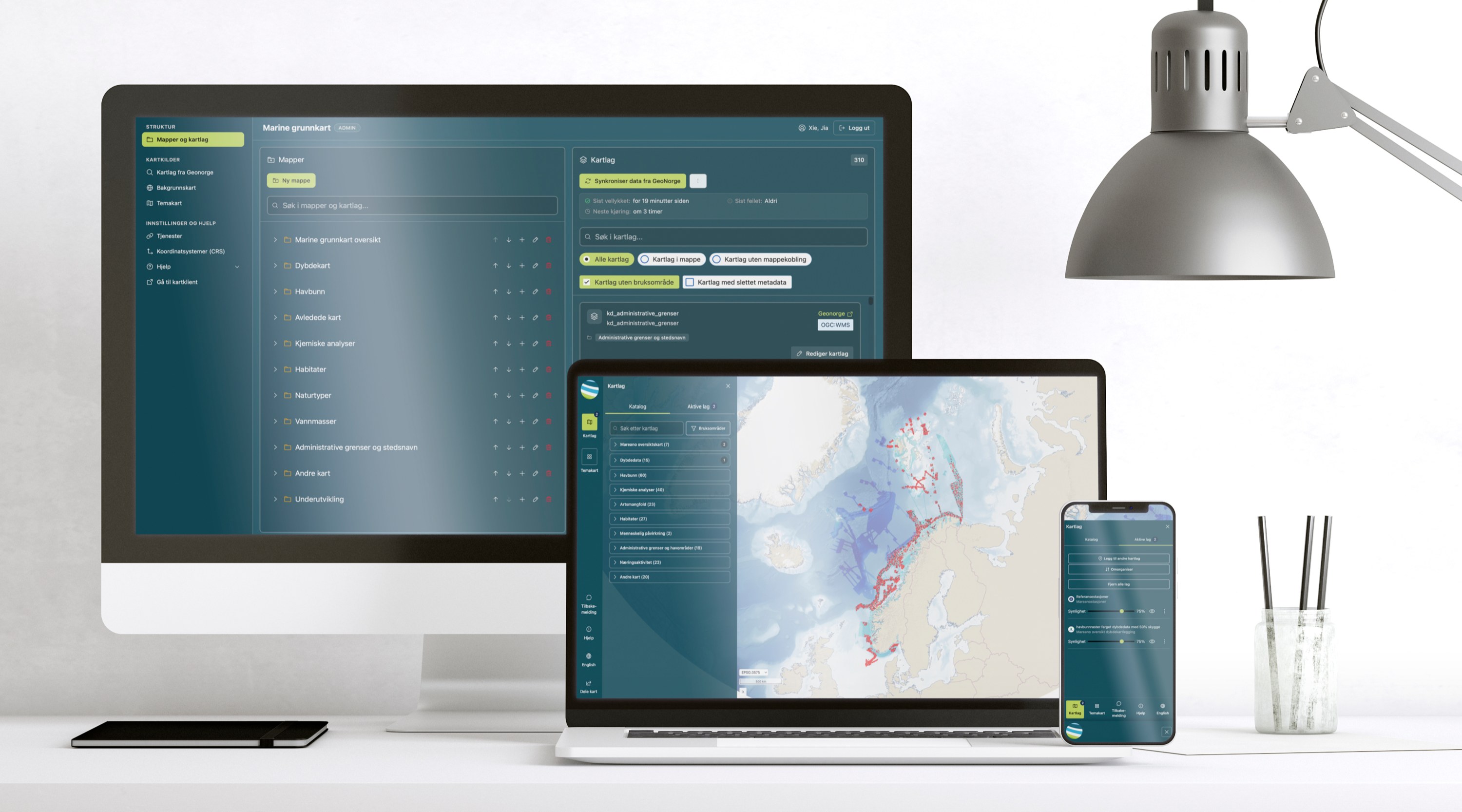
Redesigned MAREANO so specialists can combine seabed and marine layers in one view — with admin tools that keep those layers trustworthy.
Searchable layer catalog by subject — bathymetry, geology, biodiversity, habitats, human impact.
Available vs active layers — always know what’s on the map, reverse complex views.
Admin flow for WMS sources — add, replace, and remove layers with clear states.
One map for specialists and admins
Specialists need early spatial overview — how industry activity relates to environmental values. Admins must keep the layers accurate so that overview stays trustworthy.
Combining marine data for planning and assessment — and maintaining the layers behind the map
Challenge
Design response
Building a map view for planning or assessment
- 1Browse the layer catalog
- 2Search & filter by subject
- 3Activate layers
- 4Explore on the map
- 5Admin maintains sources